Security Integration and Emergency Command System
Integrate video surveillance, access control, perimeter intrusion, fire alarm and other systems on the model to achieve precise positioning of alarm events in 3D space, visual linkage and one-click emergency resource dispatch.
Video Surveillance
Fire Alarm
Emergency Dispatch
Equipment and Facility Management System
Associate elevator, air conditioning, power distribution, water supply and drainage equipment models with real-time operating data and maintenance work orders to achieve visual monitoring and full lifecycle management of facilities.
Real-time Monitoring
Maintenance Management
Lifecycle
Energy Management System
Visually display the real-time flow, consumption and energy efficiency data of electricity, water, gas and other energy sources in a 3D scene, locate high-energy-consuming units, and assist in energy-saving decisions and carbon management.
Energy Consumption Monitoring
Energy Saving Analysis
Carbon Management
Smart Transportation and Logistics System
Real-time display of campus vehicle flow, parking space status, vehicle trajectories, and linkage with parking guidance and gate systems. In logistics parks, cargo loading/unloading, storage and AGV operation status can be further visualized.
Traffic Monitoring
Smart Parking
Logistics Visualization
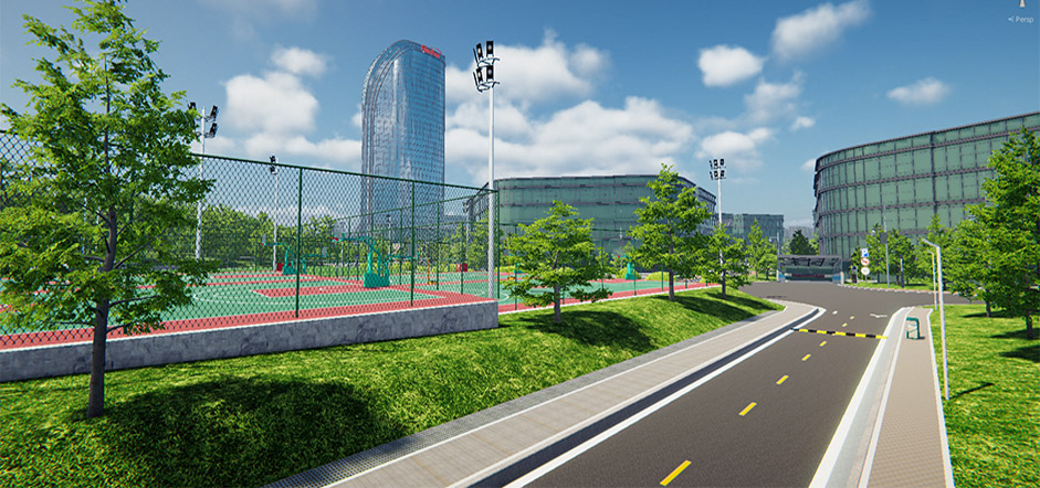
Environment and Space Management System
Bind air quality, temperature and humidity sensor data with model positions to achieve visual environmental quality. At the same time, meeting rooms, workstations, parking lots and other space resources can be visually reserved and status managed.
Environmental Monitoring
Space Reservation
Resource Management
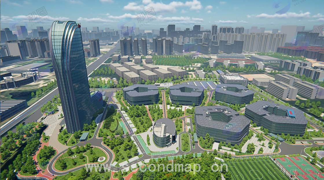
Integrated Digital Twin Foundation
Through multi-system integration, the 3D model will become an integrated, perceptible, and interactive campus digital twin foundation, comprehensively improving the comprehensive operational efficiency, safety management level and service quality of cross-functional campuses.
Comprehensive Operations
Safety Management
Service Improvement