City-Level 3D Spatial Information Solutions

Individualized 3D Modeling

Transforming large-scale oblique photography models into manageable, interactive independent objects, achieving the leap from "viewable" to "usable", providing precise 3D spatial foundation for smart cities

Individualized 3D Modeling Effect Display
L3 Precision Level

Individualized modeling achieves independent identification and interaction of buildings

Smart City
Urban Planning
Emergency Command
Real Estate Management
Natural Resources
Urban Operation

3D Modeling Main Objects

Oblique photography individualized modeling targets macro elements at city or park level, endowing them with independent management and interaction capabilities
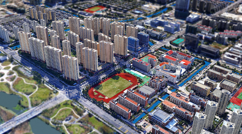
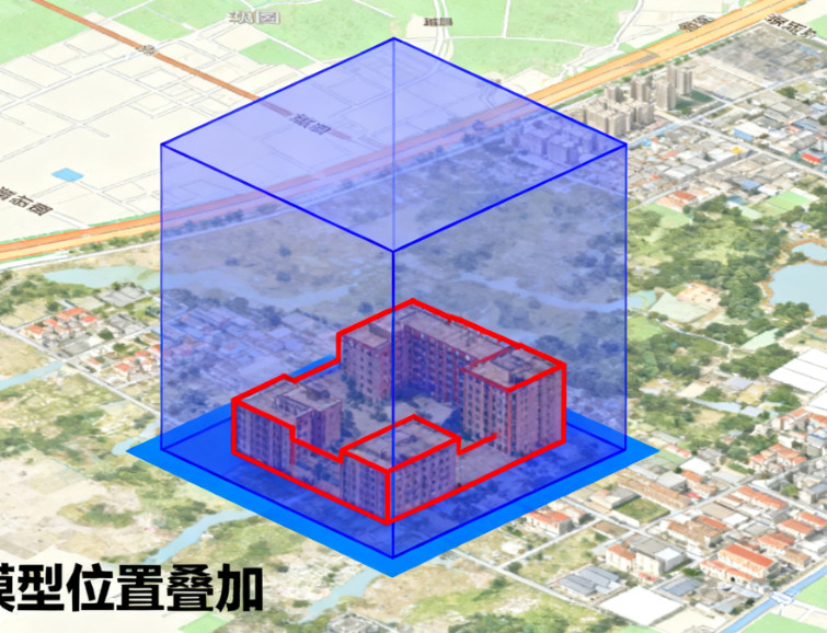
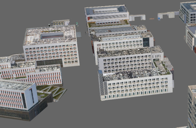
Building Groups

Various buildings, such as residential buildings, office buildings, factories, venues, etc., are the main objects of individualization. Through individualization, independent identification and management of each building can be achieved.

Key Infrastructure

Including important urban infrastructure such as bridges, roads, overpasses, towers (such as communication towers, power towers), dams, etc. After individualization, special management and analysis can be supported.

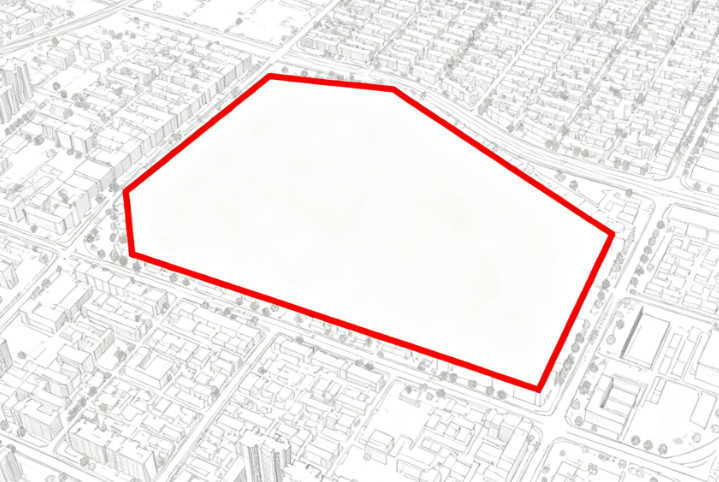
Large Fixed Facilities

Such as stadiums, parking lots, ground paving areas of squares and other large fixed facilities. Through individualization, spatial division and functional identification can be achieved.

Other Features

In specific applications,成片的绿化、水域等 may also be individually identified, enriching the information dimensions and management granularity of 3D models.

3D Modeling Methods

The core of individualization is to endow existing oblique photography models with independent "identity", mainly achieved through the following technologies

Vector Boundary Fitting Individualization
Most Commonly Used Method

Vector Boundary Fitting Individualization

Using existing 2D GIS vector boundaries (such as building bottom contours) or manually drawn boundaries, perform vertical stretching and fitting cutting with oblique photography models, forming a logically independent 3D object that can be selected individually.

The model geometry is still a "single skin", but logical separation is achieved, balancing efficiency and precision.

Semantic Segmentation Individualization
Automated Method

Semantic Segmentation Individualization

Based on AI algorithms, automatically identify and segment different feature categories in oblique photography models, assigning independent IDs to each segmented object to achieve a highly automated individualization process.

High degree of automation, but segmentation accuracy depends on algorithm level and training data quality.

Model Reconstruction Individualization
High Precision Method

Model Reconstruction Individualization

Using dense point clouds generated by oblique photography, through automatic or semi-automatic methods, generate an independent 3D mesh model with complete geometric structure for each individual object.

Can generate white models or assign real textures, which is a more thorough individualization method.

3D Modeling Precision Requirements (L3)

Under L3 (Component Precision Level) precision requirements, models should meet multi-dimensional high-precision standards

Geometric Precision

The outline, height, and shape of individualized objects maintain a high degree of consistency with real features, able to clearly distinguish different buildings and infrastructure.

Outline Matching Degree 98%
Height Accuracy 96%

Attribute Precision

Each individualized object must be attached with accurate, complete attribute information, such as building name, address, number of floors, function type, property unit, etc.

Attribute Completeness 99%
Data Accuracy 97%

Interaction Precision

Capable of achieving precise click query, highlight display and attribute calling, users can select any building and instantly obtain all related information.

Click Accuracy 99%
Response Speed 95%

3D Modeling Requirements

To ensure the quality and application effect of individualized models, multiple technical requirements must be met

Precise Outline Matching

Individualized vector boundaries must precisely fit the feature outlines of oblique photography models in 3D space, avoiding edge leakage or misalignment, ensuring visual consistency and interaction accuracy.

Efficient Lightweight Loading

The individualization process and its additional attribute information should not significantly increase the data volume of the original oblique photography model, ensuring smooth loading and rendering performance on the Web and in large scenes.

Complete Structuring and Semanticization

Each individual object must have an independent data structure and be assigned a unique ID and rich attribute fields, transforming it from a "visual model" to an "information carrier" to support in-depth applications.

Support for Spatial Analysis and Query

The model must support spatial query, regional statistics (such as all buildings within a selected area) and buffer zone analysis based on individual objects, meeting the diverse analysis needs of smart cities.

Connectable Subsystem Types

Individualized oblique photography models can serve as the baseplate of city information models, seamlessly connecting with multiple subsystems

Geographic Information System

As a 3D base map, it conducts linkage analysis and display with 2D GIS data, realizing 2D-3D integration and enhancing the application value of geographic information.

City Information Model Platform

Carrying and visualizing urban big data such as building census, population, economy, etc., conducting macro situation analysis and assisting urban management decisions.

Smart Security and Emergency Command System

Realizing "building-address-emergency" linkage, quickly locating target buildings during emergencies, and viewing their surrounding environment to improve emergency response efficiency.

Planning and Natural Resources Management System

Used for 3D comparison of planning schemes, building compliance review, sunshine analysis, etc., improving the scientificity and efficiency of planning management.

Real Estate Registration and Management System

Visually displaying the spatial location and ownership information of real estate units, realizing precise management and efficient query of real estate.

Core Value of Individualization

Through individualization, oblique photography models transform from "viewable" to "usable", becoming important 3D spatial infrastructure supporting various smart city applications, providing precise spatial information support for urban management, planning decisions, emergency command, etc.

Contact Us

Consult 3D modeling solutions
Get a customized quote

Whether you need to understand the details of 3D modeling technology or want to get a project quote, our professional team will provide you with one-on-one consultation services.

Company Address

Room 1-1501, Jinhua Garden, No. 385 Jiaotong Avenue, Danyang Street, Xiaonan District, Xiaogan City, Hubei Province, China

Contact Phone

(+86)13004585899

Contact Email

service@secondmap.cn

微信二维码

Scan with WeChat

Inquiry form