UAV Oblique Photogrammetry Technical Advantages
Integrating advanced equipment with professional technology to provide efficient, high-precision, low-cost realistic 3D modeling solutions,
meeting the diverse spatial information needs of different fields
Efficient Operations
Single flight coverage area can reach 5-10 square kilometers, improving efficiency by over 80% compared to traditional surveying,
significantly shortening project cycles and reducing time costs.
-
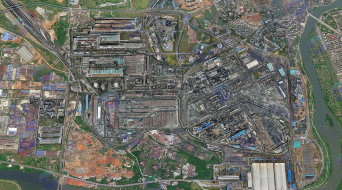
Daily modeling area can reach 20 square kilometers
-
Automated data processing workflow
-
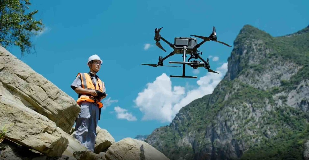
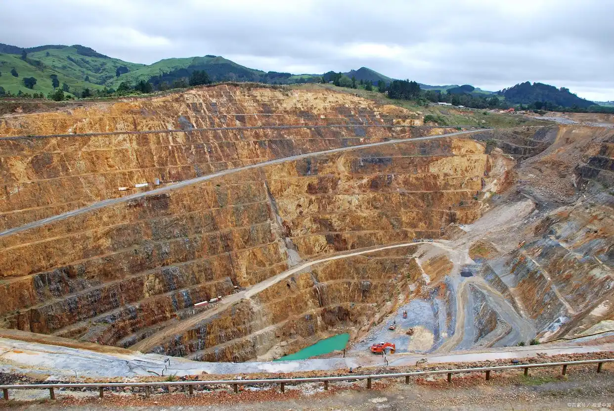
Strong adaptability to complex terrain
Ultra-High Modeling Precision
Using 20MP to 100MP high-resolution oblique cameras combined with professional POS systems,
modeling accuracy can reach 2-5 centimeters, meeting high-precision surveying and engineering application requirements.
-
Planar accuracy: 1-3cm
-
Elevation accuracy: 2-5cm
-
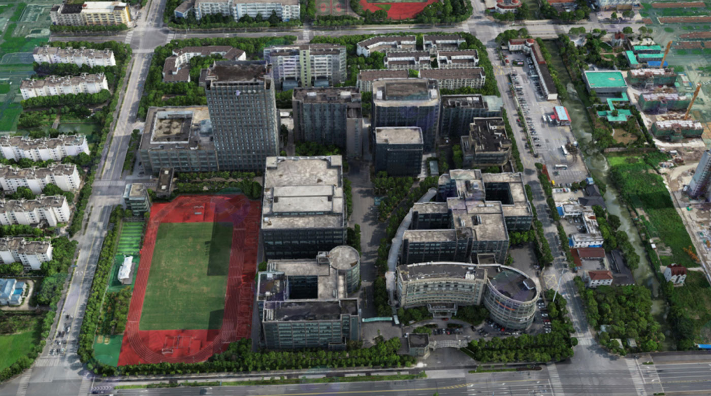
Texture reproduction rate above 98%
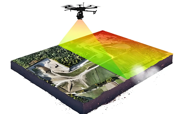
Rich Output Results
Providing diverse data results to meet different application scenario needs, supporting seamless integration with various GIS platforms,
digital twin systems to maximize data value.
-
3D models: OSGB, 3DTiles formats
-
2D results: Orthophotos, DEM, DSM
-
Vector data: DLG, point cloud data