Project Cases

Taizhou City CIM

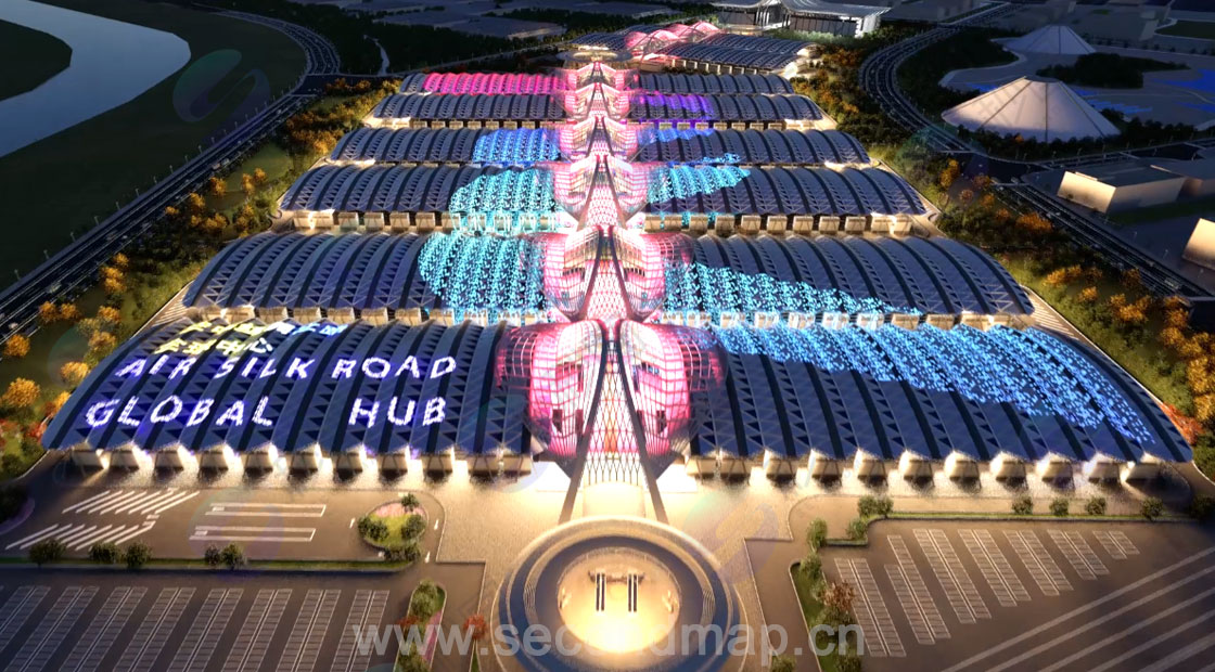
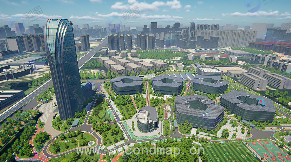
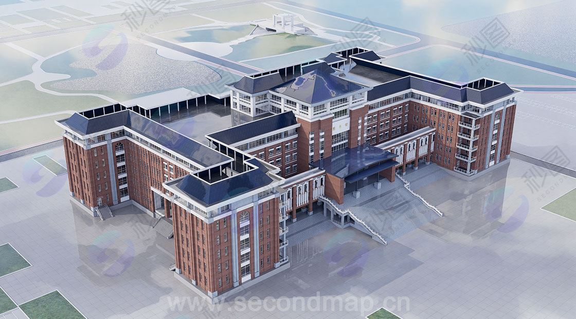
Taizhou City CIM aims at digital transformation, relying on high-precision 3D modeling technology and combining it with drone oblique photography to capture details of urban buildings, roads, and pipelines, constructing a city-level digital twin foundation. It conducts L3 modeling (presenting the city's landscape and overall layout) and L4 modeling (recreating building interiors and underground infrastructure structures) as needed, generating highly realistic 3D scenes. Leveraging 3D visualization capabilities, it integrates urban traffic, security, and municipal data, enabling a shift in urban management from "experience-based decision-making" to "data-driven" approaches. This provides support for Taizhou's urban planning, emergency dispatch, and public services, promoting the improvement of the city's smart city level.

29.jpg30.jpg

31.jpg

Related tags: City CIM L4

Project Description

All confidential information in this case study has been anonymized and strictly adheres to confidentiality agreements and data security regulations to ensure that no confidential content is disclosed.

If you discover any content in this case study that may involve infringement, please contact us immediately. We will initiate a processing procedure within 24 hours of verification to effectively protect the legitimate rights and interests of all parties and ensure the compliance of the content.

Contact us: service@secondmap.cn

Disclaimer

No one may reproduce, excerpt, copy, or use this article in any other way without permission. For permission to reproduce or use this article, please contact us and indicate the source. If you find that any images or materials in this article infringe upon your rights, please contact us and we will handle the matter promptly. Thank you for your cooperation and support!