Yizheng Shipyard
We successfully delivered and accepted a drone-based oblique photogrammetry 3D modeling project for a group company's Yizheng Shipyard, covering an area of approximately 16 square kilometers. The project utilized DJI Enterprise drones for aerial photography, achieving a precision of 3cm. The 3D model's accuracy met the project's delivery requirements, comprehensively fulfilling all the project's needs for the 3D model and successfully facilitating system implementation and deployment.
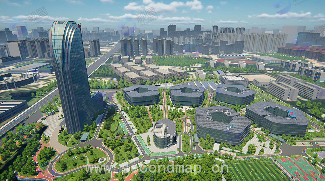
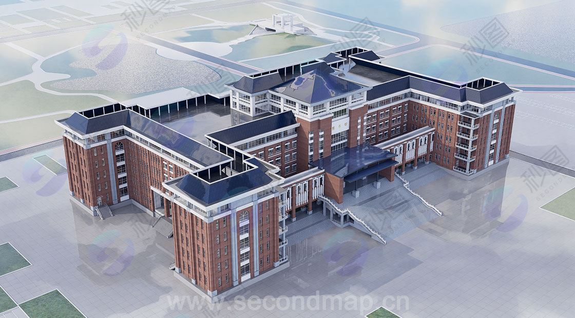
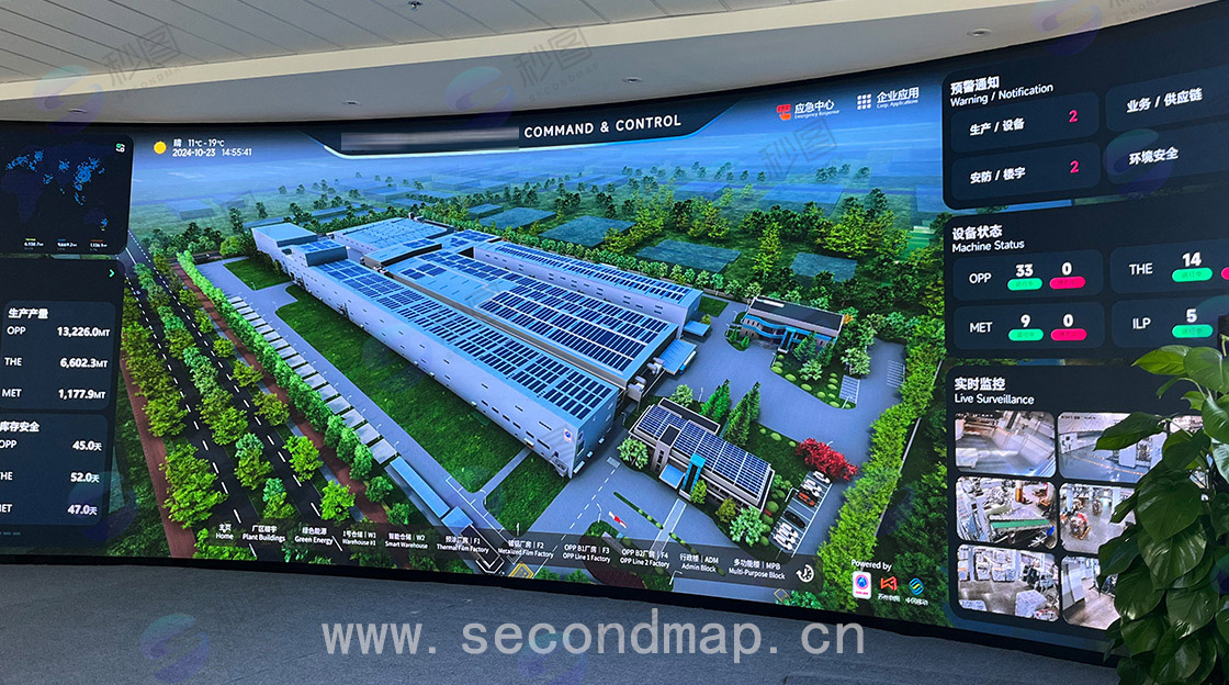
Focusing on the management pain points of shipyards' vast areas and complex facilities, we provided a customized shipyard 3D modeling solution. Using shipyard oblique photogrammetry as the core technology, combined with efficient data collection via shipyard drones, we accurately recreated key scenes such as slipways, workshops, docks, and equipment yards, constructing high-fidelity 3D models. As a professional service provider, we offered a transparent shipyard modeling and aerial photography fee structure, customizing solutions based on the shipyard's scale and modeling precision requirements to avoid cost waste. Through shipyard aerial oblique photogrammetry technology, we not only shortened the modeling cycle but also ensured the accuracy of model details, laying the foundation for the shipyard's digital construction. Based on the modeling results, a digital twin platform for shipyards can be built, integrating production progress, equipment status, and safety monitoring data. This enables visualized control of shipyard production processes and efficient scheduling of equipment operation and maintenance, helping traditional shipyards transform towards intelligent and digital production models and enhancing their core competitiveness.
Oblique photogrammetry is a technique that acquires high-resolution image data by photographing ground objects from multiple angles. Before flight, a field survey of the shipyard and its surroundings is conducted to understand the terrain, landforms, feature distribution, traffic conditions, and weather characteristics, providing a basis for flight planning.
Flight parameters such as altitude, speed, and attitude are crucial to the accuracy of oblique photogrammetry. Lower flight altitudes yield higher image resolution but smaller coverage areas and are more susceptible to terrain undulations. Excessive flight speed may cause image blurring, affecting accuracy. The stability of flight attitude also directly affects image quality and accuracy; excessive attitude changes may lead to uneven overlap between adjacent images, affecting subsequent processing and modeling accuracy.
Weather conditions such as light intensity, cloud thickness, and atmospheric visibility have a significant impact on the accuracy of oblique photogrammetry. Sufficient and uniform lighting can make ground features clearly visible, improving image contrast and clarity; while cloud cover can prevent some areas from being captured effectively, and poor atmospheric visibility can cause light scattering, reducing image clarity and color reproduction.