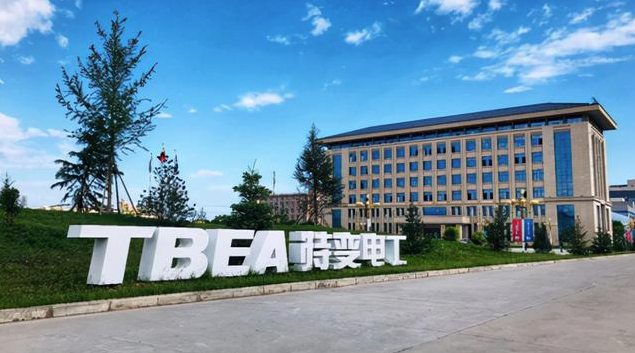
Project Cases

Zhongxiang City

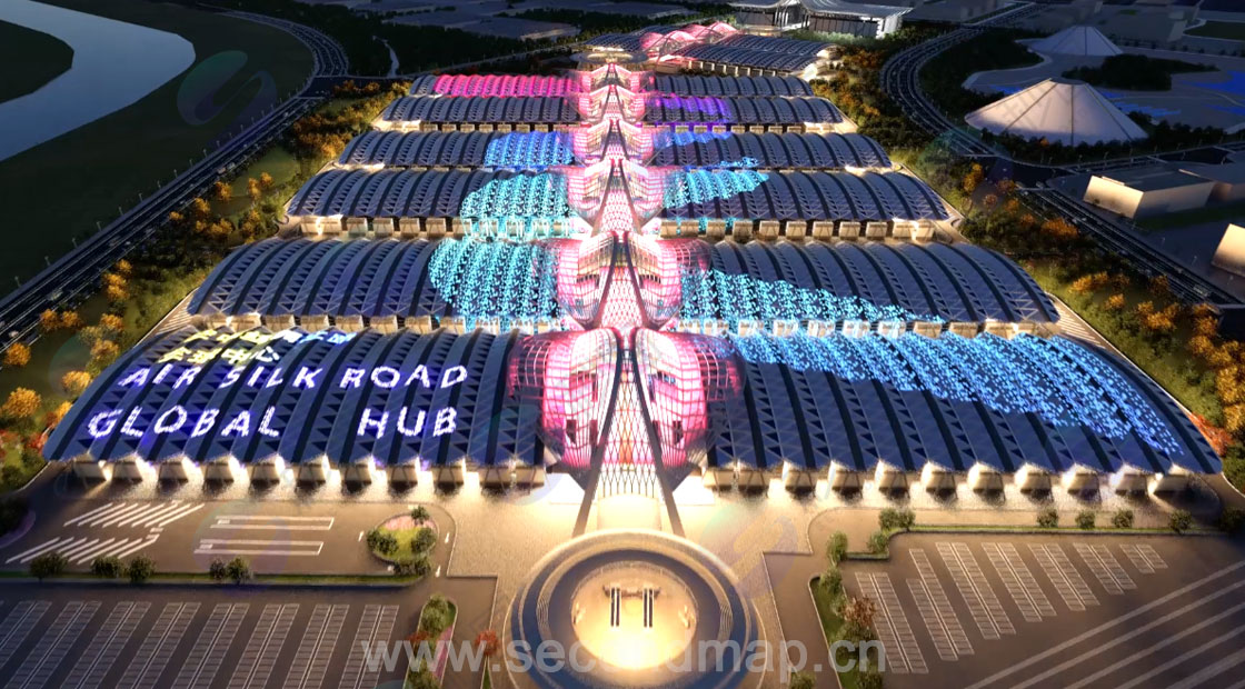
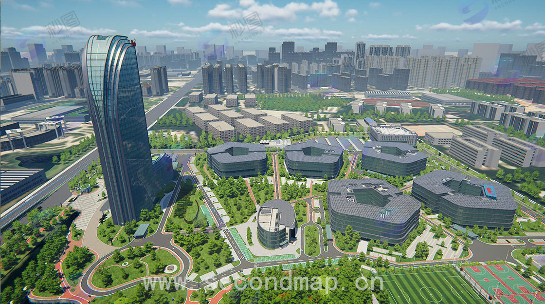
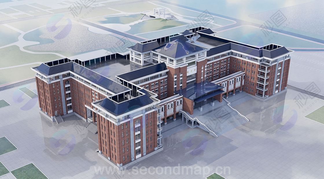
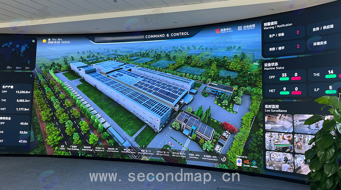
Urban 3D modeling, centered on digital construction, relies on the CIM3 technology framework and combines high-precision 3D modeling with oblique photogrammetry and laser scanning to accurately collect data on urban buildings, roads, underground pipelines, etc., constructing a city-level digital twin foundation. L3 modeling (presenting the city's appearance and layout) and L4 modeling (reproducing the internal structure of facilities) are carried out as needed to generate highly realistic 3D scenes. Leveraging 3D visualization capabilities, municipal, transportation, and security data are integrated to provide data support for Zhongxiang's urban planning, emergency dispatch, and public services, promoting the upgrade of urban management from traditional models to digital and intelligent ones, and contributing to the creation of a livable and business-friendly modern city. Project results are integrated with the SuperMap platform.

33.jpg

32.jpg

Related tags: City CIM3 L3 3dtiles

Project Description

All confidential information in this case study has been anonymized and strictly adheres to confidentiality agreements and data security regulations to ensure that no confidential content is disclosed.

If you discover any content in this case study that may involve infringement, please contact us immediately. We will initiate a processing procedure within 24 hours of verification to effectively protect the legitimate rights and interests of all parties and ensure the compliance of the content.

Contact us: service@secondmap.cn

Disclaimer

No one may reproduce, excerpt, copy, or use this article in any other way without permission. For permission to reproduce or use this article, please contact us and indicate the source. If you find that any images or materials in this article infringe upon your rights, please contact us and we will handle the matter promptly. Thank you for your cooperation and support!