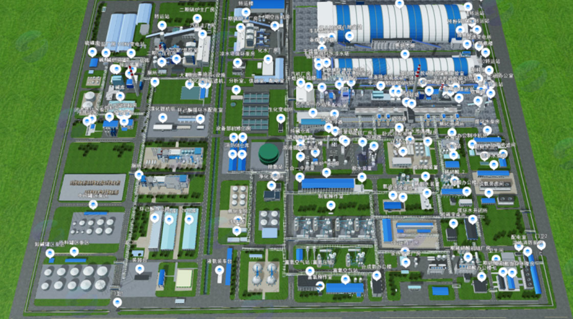
3D modeling requirements for urban safety scenarios
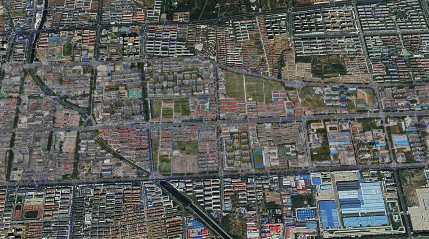
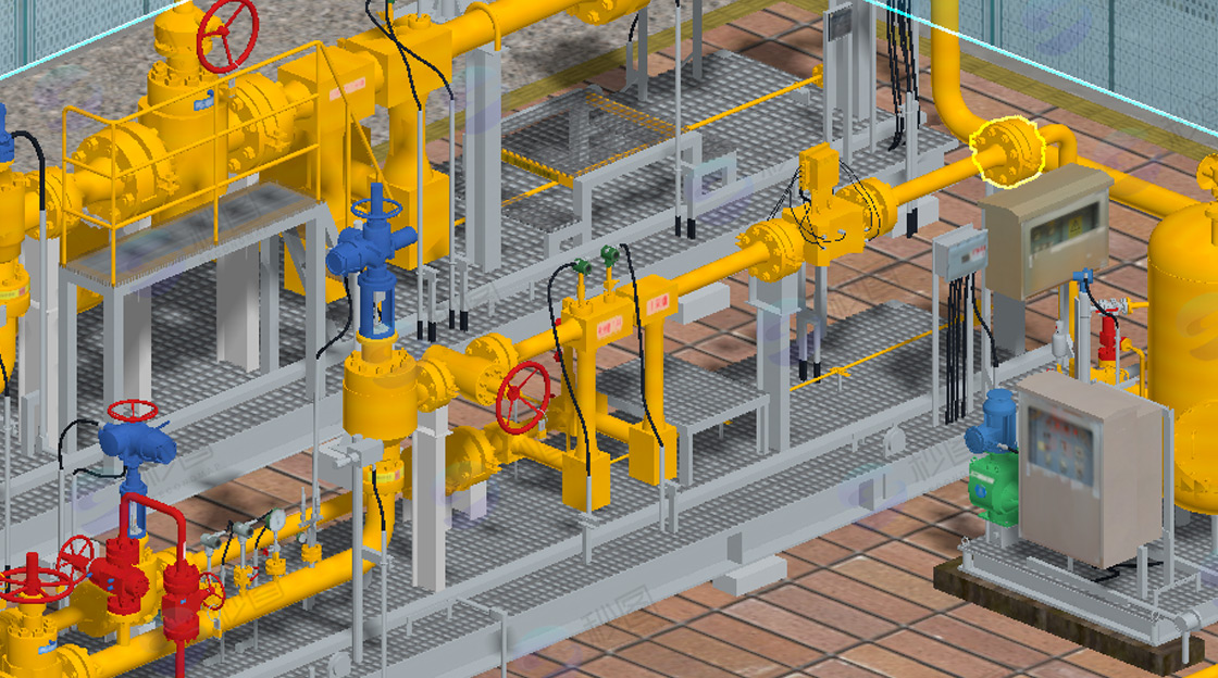
The three-dimensional modeling requirements for urban safety special scenarios generally cover multiple aspects such as data, functions, accuracy, and applications. This includes terrain data such as contour lines and elevation points for building the terrain foundation, as well as vector data on the location, shape, and boundaries of urban roads, water systems, and buildings, which provide the basic framework for the scene. Detailed building information is needed, such as building height, number of floors, structural type, exterior material and color, etc., to accurately model and restore the urban architectural style. It covers various safety-related facilities in the city, such as the location, type, and quantity of fire protection facilities, the distribution and field of view of surveillance cameras, and the location and illumination range of street lamps, to accurately present their position and function in the model. Population density data can help analyze safety risks in crowded areas; socio-economic data such as industry types and commercial activities in different areas helps evaluate the safety importance and potential risk sources of different regions.
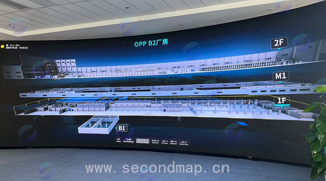
It can intuitively display urban safety special scenarios in three-dimensional form, supporting multi-angle and multi-perspective browsing, making it convenient for users to comprehensively observe various elements and details in the scene. For example, users can view the detailed safety status of a certain urban area through mouse dragging, zooming, and other operations. Users should be able to quickly query relevant information of specific objects in the model, such as clicking on a fire protection facility to display its specifications and maintenance records. It also has spatial analysis functions, such as analyzing the best rescue routes when fires occur and calculating the impact range of hazardous areas.
Based on the 3D model, various safety accident simulations can be conducted, such as fire spread simulation and flood inundation simulation. The simulation results can provide a basis for emergency plan formulation. It can also perform safety warnings based on real-time data. When monitoring data exceeds thresholds, warning information is displayed in the model in a timely manner. For example, when the water level in a certain area exceeds the warning value, the corresponding area in the model will flash to alert.
Supports interactive operations between users and the 3D model, such as adding annotations and notes to record hidden danger points or important information. It can also conduct virtual drills, allowing users to perform emergency rescue drills and other operations in virtual scenarios to improve emergency response capabilities.
On the city-wide scale, it needs to accurately reflect macro characteristics such as urban terrain undulation, distribution of major functional areas, and traffic network layout, so that the model can be used for city-level safety planning and risk assessment. For example, it can determine the key safety protection areas and resource allocation in different urban regions.
For specific blocks or parks, it needs to accurately present the layout of buildings, road width, and greening conditions to facilitate safety facility planning and emergency evacuation design within the area. For example, it can calculate the personnel evacuation time and evacuation routes within the block.
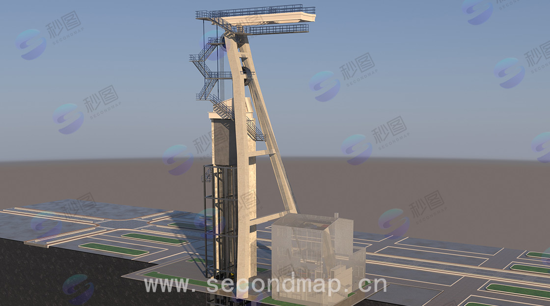
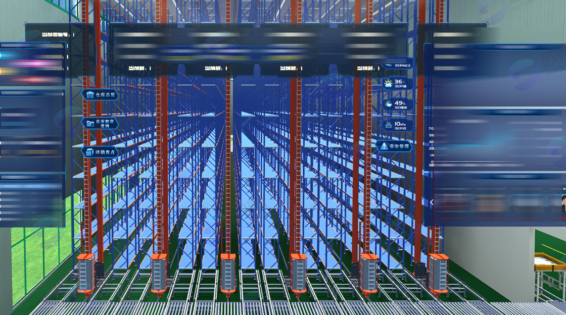
For key safety facilities and important building interiors, high accuracy is required, such as the internal channel structure of buildings, specific locations of fire protection equipment, and elevator operation parameters, to provide detailed information support for emergency rescue and safety management. This helps rescue personnel quickly formulate rescue strategies in emergency situations.
Used for urban safety planning, such as site selection and layout planning for fire stations and emergency shelters. During the design phase of urban construction projects, it conducts safety risk assessment and safety facility design review to ensure that new projects meet safety requirements.
During emergency response to sudden incidents, it provides intuitive scene information for commanders to assist in formulating rescue plans and dispatching rescue resources. It conducts post-disaster assessment to quickly determine the affected area and loss situation, providing a basis for recovery and reconstruction.
Create virtual safety education and training scenarios, allowing students to learn safety knowledge and conduct emergency drills in virtual environments to improve safety awareness and emergency skills, such as simulating fire escape and earthquake avoidance scenarios.
Used for daily inspection and monitoring of urban safety, quickly locating hidden danger points through 3D models and promptly arranging personnel for handling. It digitizes the management of urban safety facilities, recording maintenance information and operating status of facilities.